Privacy policy · Last updated 17 September 2026
Your maps stay on your phone. So does everything else.
OfflineTopoMap has no accounts, no analytics, no advertising and no third-party software development kits. It does not collect, sell or share personal data. This policy explains the little that does happen with data when you use the app, in line with the EU General Data Protection Regulation (GDPR) and Apple's App Store requirements.
Who is responsible
The controller for the app and this website is [Your name or company], [street, postcode, city, country], [e-mail address]. See the legal notice.
Data stored on your device
- Map tiles you download, stored in the app's private storage. They are excluded from iCloud and computer backups because they can be re-downloaded.
- Your list of downloaded areas (coordinates, tile counts, sizes, dates) and settings such as the offline switch and the last map position. These small files may be included in your device backup like any other app data.
Nothing on this list is transmitted to us or to anyone else. Delete areas from the Downloads list at any time, or remove all of it by uninstalling the app.
Location
When you tap the locate button the app asks iOS for permission to use your location while the app is in use, then reads a single position fix to centre the map. Your location is processed only on the device, is not stored by the app and is never transmitted. You can withdraw the permission in iOS Settings at any time; the rest of the app continues to work.
Map tiles from OpenTopoMap
While online, the app requests map images from the OpenTopoMap tile servers (tile.opentopomap.org), which are operated by the OpenTopoMap project, not by us. Like any web request, this transmits your IP address, the identifiers of the requested tiles (which reveal the map area you are viewing or downloading), the time of the request and a User-Agent string naming the app and this website. We do not receive any of this. Please refer to OpenTopoMap for their handling of server logs. In offline mode the app makes no network requests at all. The legal basis for these requests is the performance of the service you asked for (Art. 6(1)(b) GDPR).
Apple frameworks
The map view is built on Apple's MapKit framework with Apple's own map imagery replaced by OpenTopoMap tiles. MapKit and Core Location are system frameworks; their communication with Apple is governed by Apple's privacy policy. Purchases and installations run through the App Store and are subject to Apple's terms.
Your rights
Because we hold no personal data about you, there is nothing for us to access, correct, export or delete on your behalf; everything sits on your device under your control. You nevertheless have the rights granted by the GDPR (access, rectification, erasure, restriction, portability, objection) and the right to lodge a complaint with a supervisory authority. Contact us at [e-mail address] with any question.
Children
The app is not directed at children under 16 and knowingly collects no data from anyone.
Changes
If a future version of the app processes data differently, this policy will be updated here and the date above changed before that version is released.
Terms of use · Last updated 17 September 2026
Terms of use and safety notice
Maps are an aid, not a guarantee. Map data comes from volunteers and satellite elevation models and may be incomplete, outdated or wrong. Paths shown may be closed, dangerous or non-existent; elevations and contours are approximate. Always carry an official topographic map and a compass or a dedicated navigation device in terrain where getting lost is dangerous, check conditions before you go, and never rely on a phone alone for your safety. Phones fail, batteries empty, screens break.
Licence to use the app
The app is licensed, not sold, to you for personal use on Apple devices you own or control, under Apple's Licensed Application End User License Agreement unless we publish our own. You may not reverse engineer the app except where the law permits, or use it to build a service that bulk-harvests tiles.
Fair use of the tile service
Map tiles are served by the volunteer-run OpenTopoMap project. You agree not to circumvent the app's download limits or otherwise place undue load on their servers. Availability of the tile service is outside our control and not guaranteed; areas you have already downloaded keep working regardless.
Map content licence
Map tiles are licensed under CC-BY-SA 3.0 by OpenTopoMap and remain so when stored on your device. If you share map images, you must keep the attribution shown in the app and license your result under the same terms. The underlying data is © OpenStreetMap contributors under the Open Database License.
No warranty, limitation of liability
The app is provided "as is" and "as available" without warranties of any kind, express or implied, including fitness for a particular purpose and accuracy of map content. To the fullest extent permitted by applicable law, we are not liable for any loss, injury or damage arising from use of, or reliance on, the app or its map content. Nothing here limits liability for intent, gross negligence, or injury to life, body or health where such limitation is not permitted by law, including under German law (§ 309 BGB).
Governing law
These terms are governed by the laws of [country, e.g. Germany], without prejudice to mandatory consumer protection rules of the country you live in. If you are a consumer in the EU you may also use the European Online Dispute Resolution platform; we are not obliged and not willing to take part in dispute resolution before a consumer arbitration board.
Licences & credits
What the app is made of
- Map style & tiles
- OpenTopoMap — © OpenTopoMap, CC-BY-SA 3.0. Style source on GitHub.
- Map data
- © OpenStreetMap contributors, ODbL 1.0.
- Elevation
- SRTM (NASA / USGS), public domain, as processed by OpenTopoMap.
- Platform
- Apple MapKit, Core Location, SwiftUI. Apple, iPhone, iPad and App Store are trademarks of Apple Inc.
- Typefaces (website)
- Bricolage Grotesque and Manrope, SIL Open Font License, via Google Fonts.
- App icon & contour art
- Generated procedurally; © the app's author.
OfflineTopoMap is an independent project. It is not affiliated with or endorsed by the OpenTopoMap project, the OpenStreetMap Foundation or Apple Inc.
Legal notice · Impressum (§ 5 DDG, § 18 MStV)
Legal notice
Fill in every placeholder below before publishing. German law requires a complete Impressum for apps and websites offered commercially; incomplete ones are a common cause of formal warnings.
- Provider
- [Full name / company name and legal form]
- Address
- [Street and number, postcode, city, country]
- Contact
- [e-mail address] · [telephone number]
- Represented by
- [Managing director(s), if a company]
- Register
- [Commercial register and number, if applicable]
- VAT ID
- [VAT identification number per § 27a UStG, if applicable]
- Responsible for content
- [Name and address per § 18 (2) MStV]
Liability for content and links
We prepare the content of this website with care but cannot guarantee that it is complete, correct or current. Linked external websites are the responsibility of their operators; they were checked for legal violations when the links were set and no violations were apparent. We will remove links promptly once we become aware of a violation.
Copyright
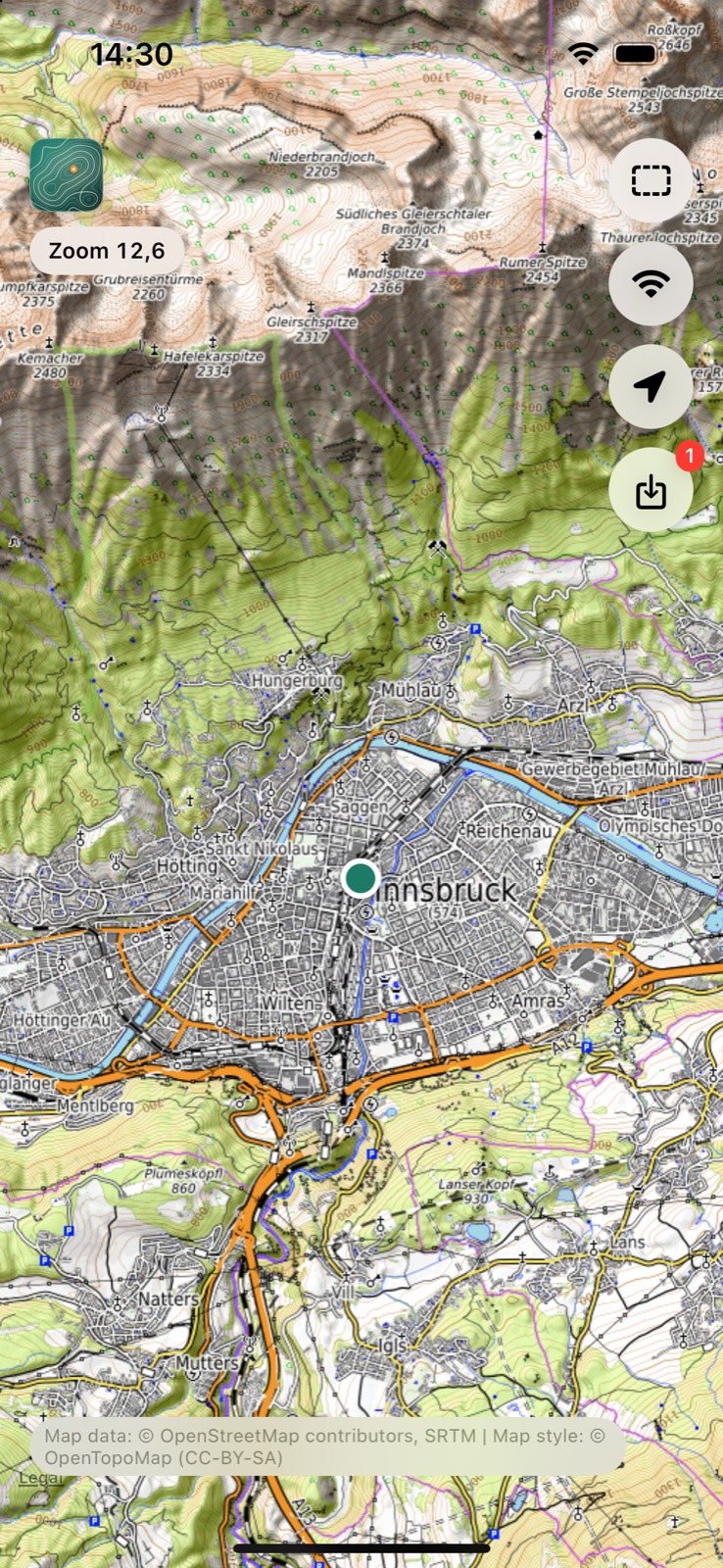
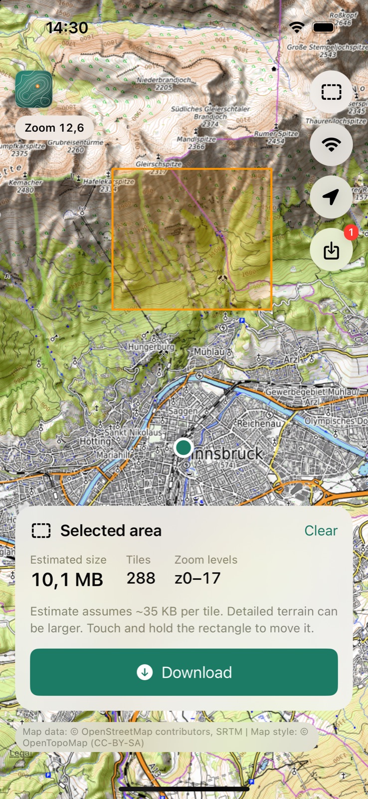
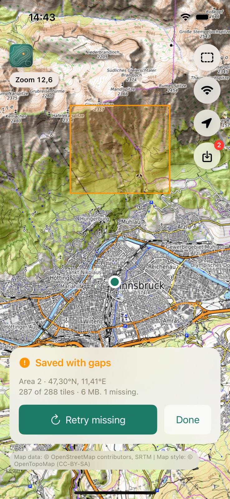
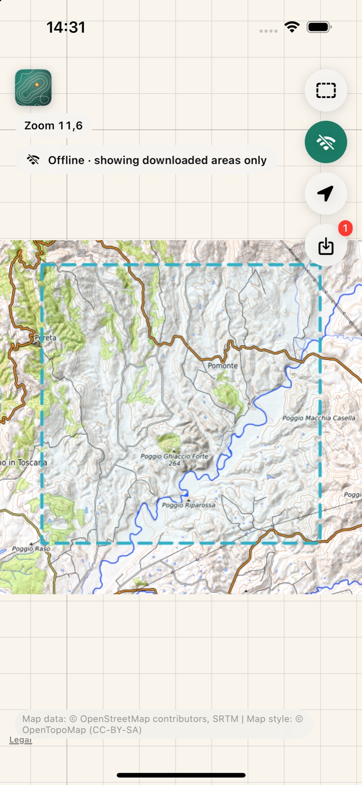
The app's source code, this website's text and its generated artwork are © [Year, name]. Screenshots contain OpenTopoMap map imagery under CC-BY-SA 3.0 (© OpenStreetMap contributors, SRTM; style © OpenTopoMap).
 OfflineTopoMap